EDUCATIONAL RESOURCES
WE’RE HERE TO HELP CLIENTS BETTER UNDERSTAND THE PROCESS.
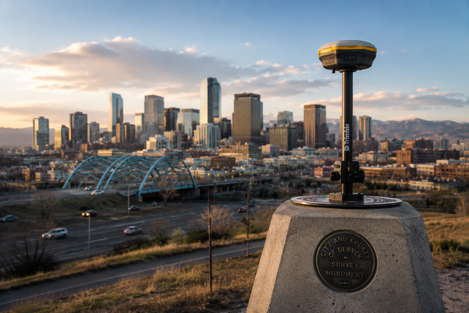
Surveying and subsurface utility engineering are critical components of successful project delivery, yet many clients are unfamiliar with how these services impact planning, design, and construction.
-
An Improvement Survey Plat (ISP) provides a detailed snapshot of a property and the improvements located on it. This type of survey identifies property boundaries along with visible improvements such as buildings, driveways, sidewalks, fences, utilities, and other site features.
ISPs are commonly required for building permits, property transactions, refinancing, and development planning. They help property owners, lenders, municipalities, and design professionals verify that existing improvements are properly located relative to property lines, easements, and setbacks.
At Synergy Solutions, we understand that an ISP is more than just a drawing, it is a tool that helps clients make informed decisions and avoid costly issues before construction or permitting begins.
-
An Improvement Location Certificate (ILC) is a limited survey typically used during residential real estate transactions. An ILC identifies visible improvements on a property, such as the home, driveway, fences, sidewalks, and other structures, in relation to the apparent property boundaries.
ILCs are commonly requested by lenders and title companies during the purchase or refinance of residential property to identify potential encroachments or boundary concerns.
Unlike a full boundary survey, an ILC is generally prepared using existing evidence and record information without performing a complete boundary resolution. Because of this, an ILC is not intended to establish property boundaries with the same level of precision as a Land Survey Plat or Improvement Survey Plat.
You may need an ILC when:
Buying or selling a residential property
Refinancing a home
Requested by a lender or title company
Verifying visible improvements on a residential lot
-
An ALTA/NSPS Land Title Survey is a comprehensive survey prepared according to national standards jointly established by the American Land Title Association (ALTA) and the National Society of Professional Surveyors (NSPS).
ALTA/NSPS surveys are typically used for commercial real estate transactions and development projects where lenders, title companies, attorneys, and property owners require a detailed understanding of the property, boundary conditions, easements, access, improvements, utilities, and potential encroachments.
These surveys involve extensive research, field investigation, and coordination with title commitments and legal documents to provide a detailed representation of the property and matters affecting ownership and development.
You may need an ALTA/NSPS Survey when:
Purchasing or refinancing commercial property
Supporting commercial development projects
Required by lenders or title companies
Verifying easements, access, and boundary conditions
Supporting due diligence for real estate transactions
Evaluating development constraints on a property
-
Choosing the correct type of survey depends on the project, property type, lender requirements, and intended use of the survey.
ILC
Best suited for:
Standard residential real estate transactions
Basic improvement verification
Lender and title company requirements for residential property
ISP
Best suited for:
Building permits
Site improvements and additions
Commercial properties
Development planning
Projects requiring more detailed site information
ALTA/NSPS Survey
Best suited for:
Commercial real estate transactions
Large development projects
Detailed due diligence investigations
Complex ownership, easement, and title matters
At Synergy Solutions, we help clients determine the appropriate level of surveying needed for their project, helping avoid unnecessary costs while ensuring the information provided supports informed decisions and successful project delivery.
-
Subsurface Utility Engineering (SUE) is the process of identifying, locating, and managing underground utilities before construction begins. Utilities such as water, sewer, gas, electric, fiber optic, and telecommunications lines are often poorly documented or inaccurately mapped, creating major risks during design and construction.
SUE combines utility records research, visible utility mapping, geophysical locating technologies, and vacuum excavation to provide a clearer understanding of existing underground infrastructure.
By identifying utility conflicts early, SUE helps:
Reduce costly redesigns
Prevent construction delays
Improve jobsite safety
Minimize utility damage
Increase confidence during design and construction
At Synergy Solutions, we believe successful projects require understanding both the surface and what lies beneath it.
-
Every successful project begins with accurate information. Engineering design relies heavily on existing site conditions, and incomplete or inaccurate survey data can lead to significant issues later in the project lifecycle.
Without quality survey information, projects may experience:
Design conflicts
Drainage issues
Utility conflicts
Construction delays
Increased project costs
Accurate survey data provides engineers, architects, and developers with a reliable foundation for decision-making. It allows project teams to identify potential challenges early, improve coordination, and move into construction with greater confidence.
At Synergy Solutions, we focus on delivering dependable survey information that supports smarter planning, more efficient design, and better project outcomes.
-
Underground utilities are one of the most common sources of unexpected delays during construction. Many utility systems were installed decades ago, and existing records are often incomplete, outdated, or inaccurate.
Common utility conflicts include:
Unknown utility crossings
Incorrect utility depths
Conflicts between proposed and existing infrastructure
Abandoned or undocumented utilities
Misidentified utility ownership
When utilities are not properly identified before construction, projects can experience redesigns, change orders, schedule impacts, and safety concerns.
Subsurface Utility Engineering (SUE) helps reduce these risks by identifying underground utility conflicts early in the design process, allowing teams to make proactive decisions before construction begins.